Topics
What Is Ground Sample Distance in Drone Mapping and SAR?
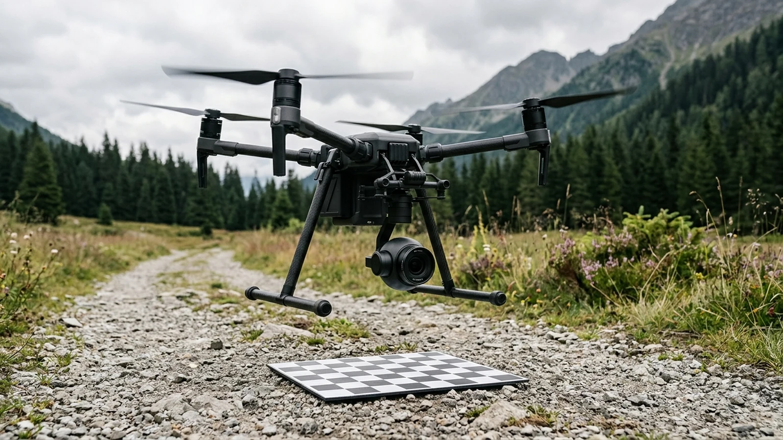
Ground sample distance is the ground spacing between adjacent pixel centers. Height and pixel pitch raise it. Focal length lowers it. Blur can hide a target.
Evergreen explainers on autonomous flight, data links, navigation security, delivery and inspection.
Ground sample distance is the ground spacing between adjacent pixel centers. Height and pixel pitch raise it. Focal length lowers it. Blur can hide a target.
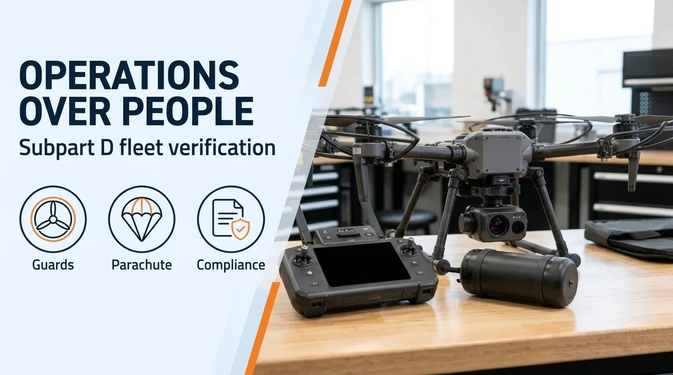
FAA Part 107 Subpart D guide to drone operations over people: Category 1–4 weight and kinetic energy limits, rotor guards, DOC checks, and moving vehicles.
Audit public agency drone cybersecurity across ground control station access, offline firmware signature verification, and flight telemetry log retention.
Choose an approval path for your drone mission: compare operational waivers, emergency requests, airspace coordination, and public-safety frameworks.
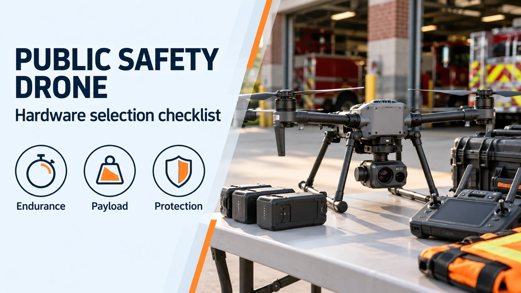
Compare public safety drone specifications and prepare a procurement checklist for loaded hover, camera payloads, weather protection, battery turnaround, and Remote ID.
Engineering evidence for a Part 107.31 BVLOS drone waiver in the FAA Aviation Safety Hub: 2 sm Visual Observer handoffs, DAA, RTH clearance, and FCC C2 links.
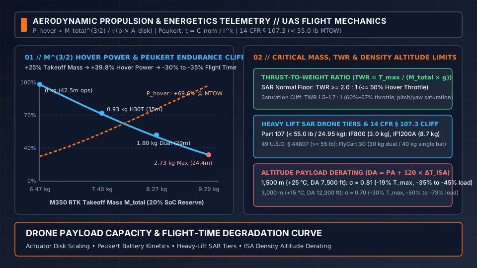
How drone payload capacity cuts flight time under the M^(3/2) hover power law, Peukert battery loss, heavy lift SAR drone curves, the 55 lb Part 107 cliff, and altitude payload derating.
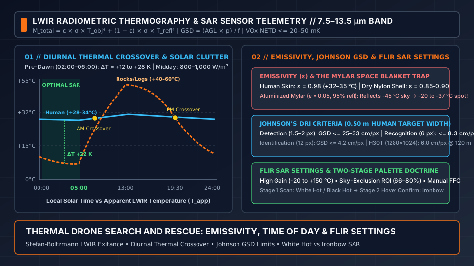
How thermal drone search and rescue works: LWIR emissivity, Mylar space blanket reflection, diurnal thermal crossover, Johnson GSD criteria, FLIR SAR settings, and White Hot vs Ironbow SAR palettes.
A second radio inside 2400–2483.5 MHz fails with the first. Part 88 keeps 5040–5050 MHz for control only. A 5800 MHz backup adds 7.66 dB of free-space loss.
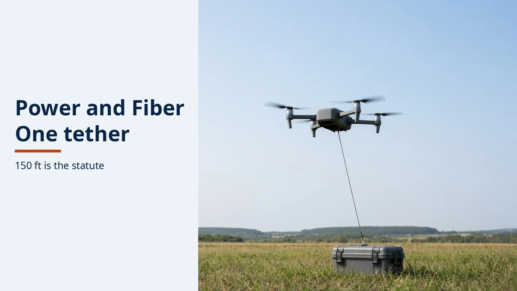
A dark fiber is not a power failure. Match the sheet's watts and altitude to the 150-foot public-safety line before either number is reused.
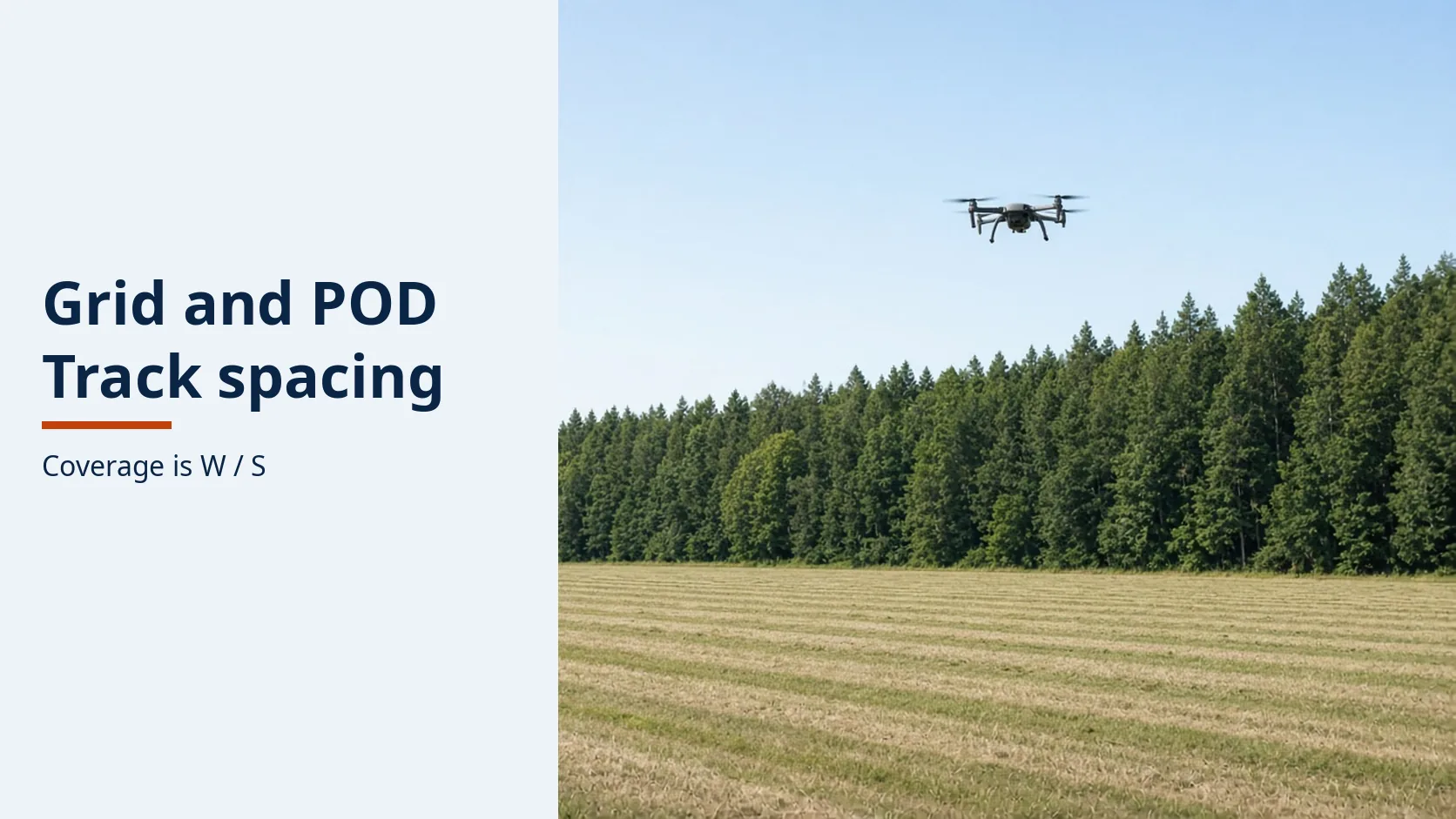
A grid the aircraft does not fly is a gap. IAMSAR sets coverage as sweep width over track spacing, and the pattern has to match how well the datum is known.
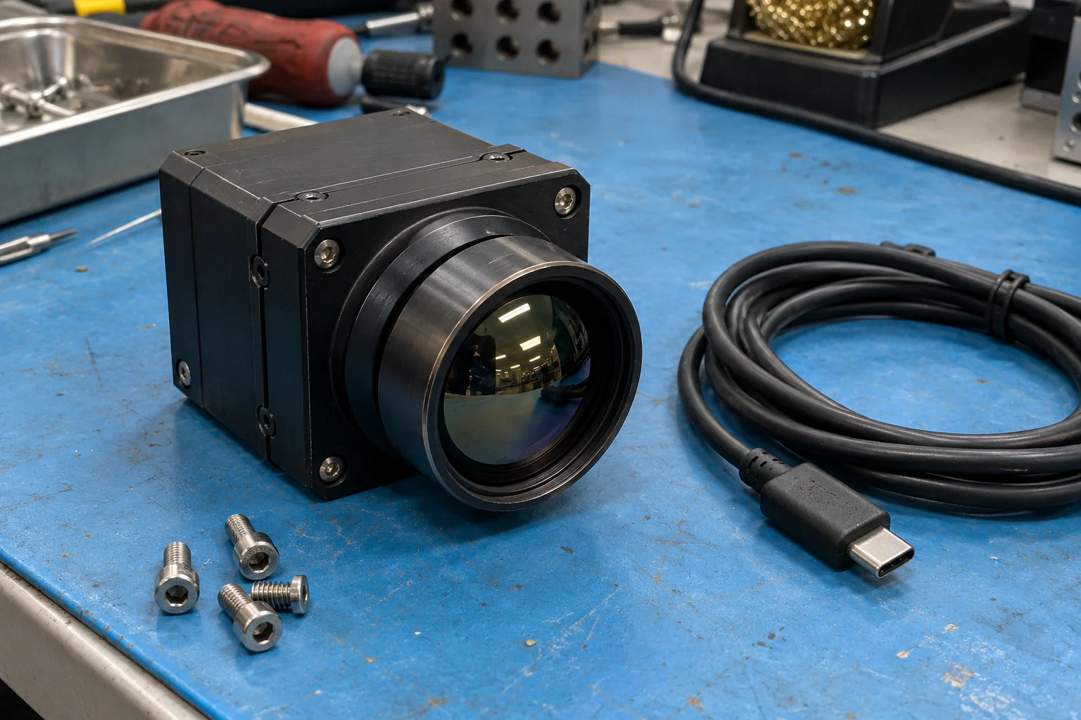
Review Teledyne FLIR Prism A-ISR (110-0201-92) public camera, SoC, power, and metadata specs alongside a blank UAS integration verification checklist.
Compare DFR proposals using a blank cost worksheet for startup, annual operations, maintenance, staffing hours, exclusions and dated quote evidence.
Map dispatch, live-video and evidence handoffs with named owners, a blank local matrix and eight proposed acceptance checks. Untested results stay unknown.
A blank matrix that assigns each drone-as-first-responder rule an owner and a record. One county FAQ is the example. Unknown cells stay blank.
Match each Remote ID serial to the FAA inventory row for a mixed fleet, and leave a cell blank when no opened source names it.
A Part 107 route check for a 0-foot UAS Facility Map square: LAANC further coordination, FAADroneZone, on-airport jobs, and waivers.
A checklist for U.S. emergency drone requests: which Special Governmental Interest route applies, what to record, and what a denial still forbids.
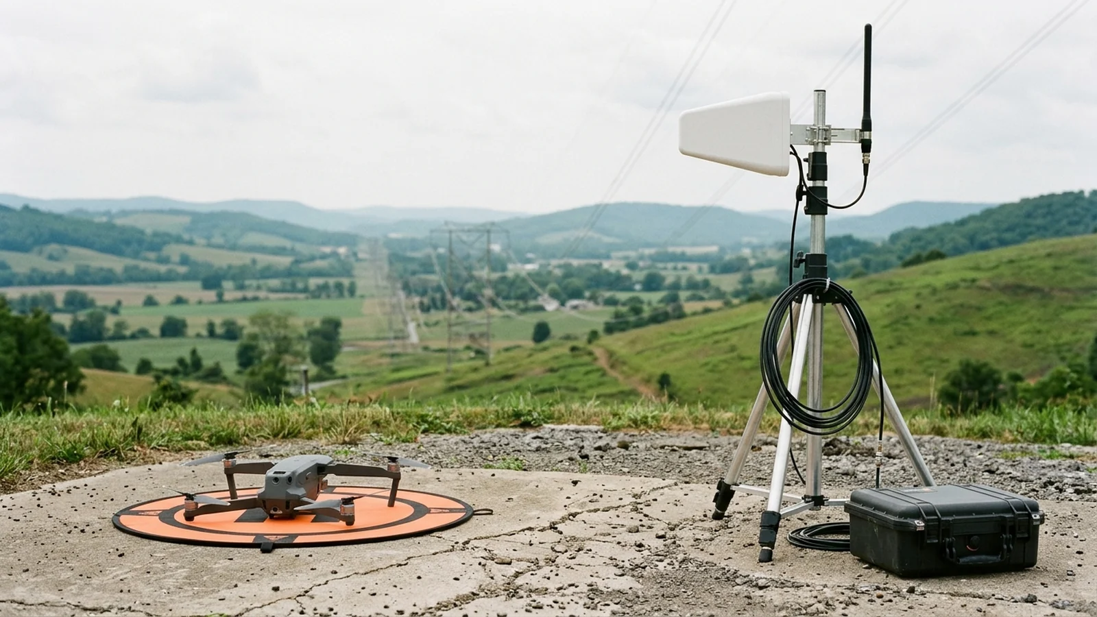
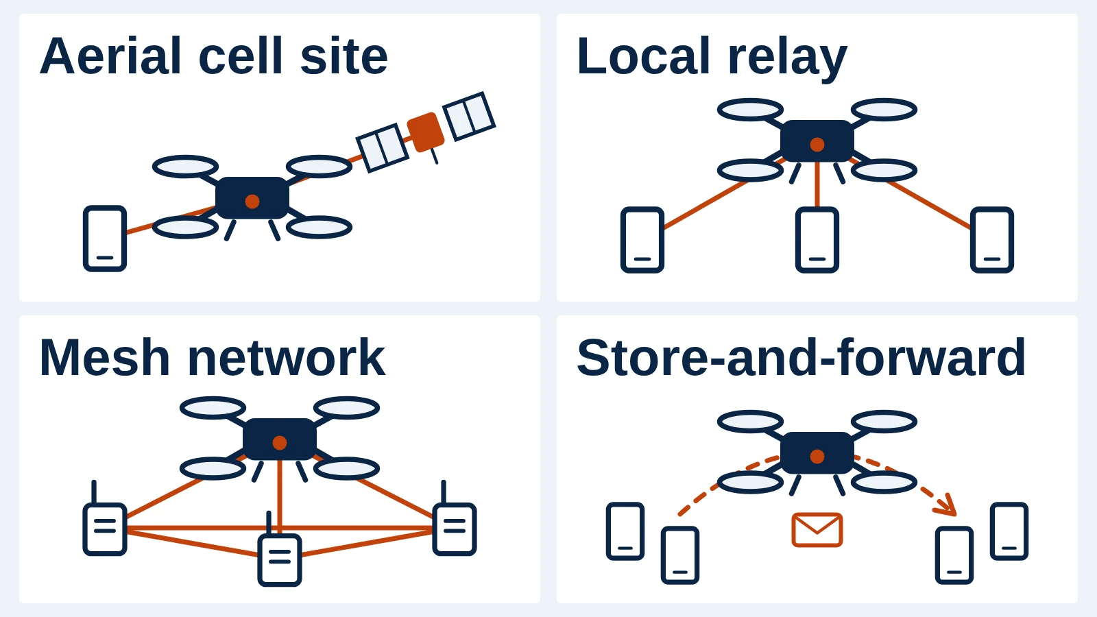
How drones relay data for responders without cell service: aerial cell sites, local and mesh relays, store-and-forward, tethered or free-flying, and what limits each one.
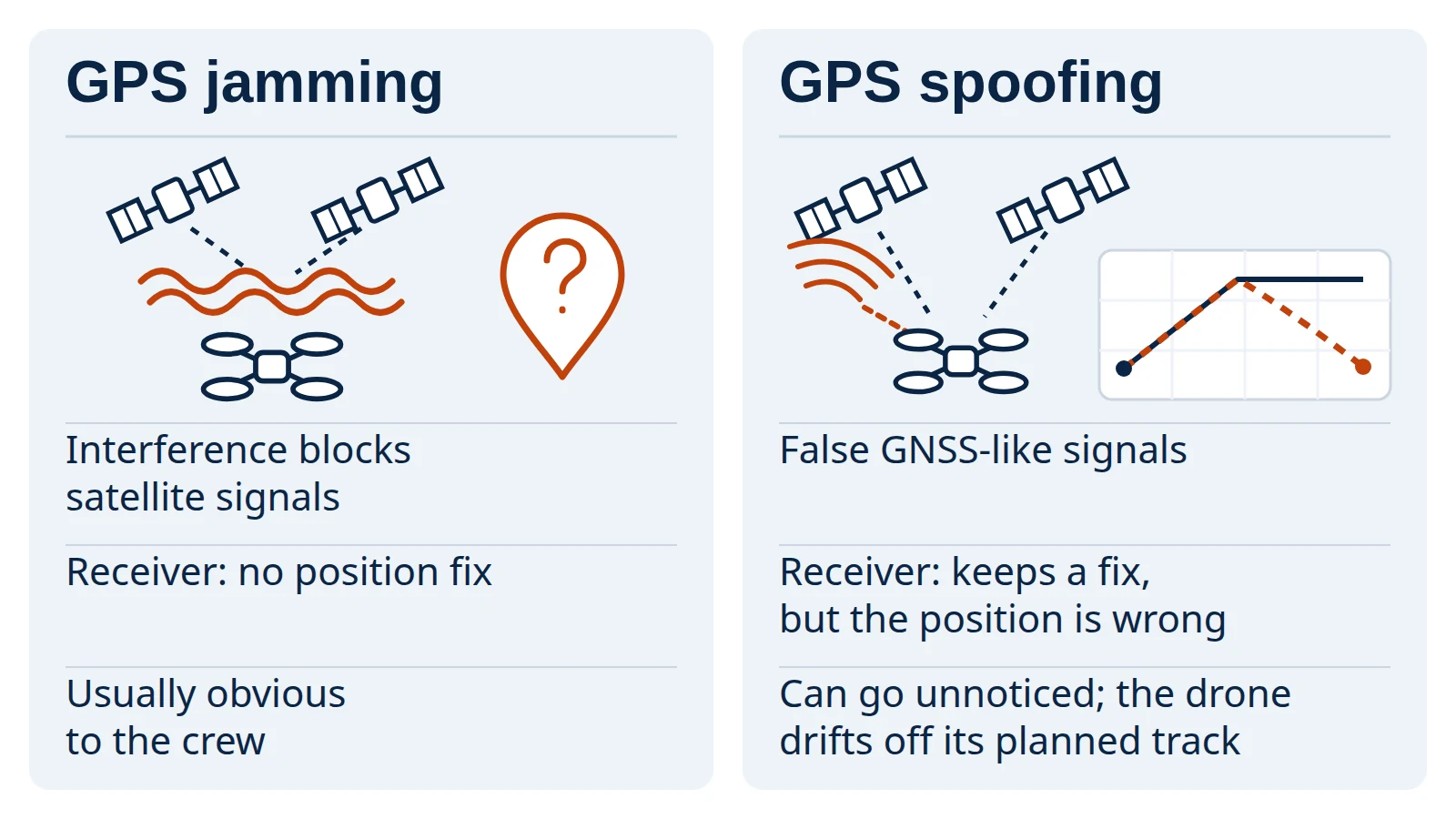
What GPS jamming and spoofing do to a drone, how operators can detect them, which public safeguards reduce the risk, and why jamming a drone yourself is illegal in the U.S.
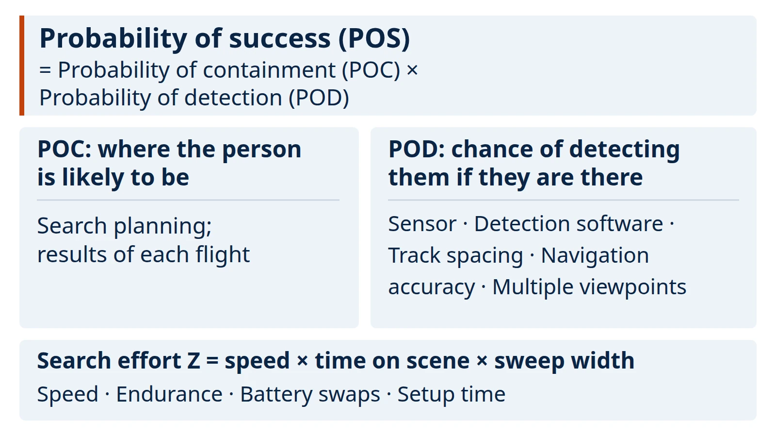
What optimizing a drone search and rescue flight actually changes, why forest canopy makes it hard, which levers help, and how to check a detection claim before relying on it.