Topics
What Is Ground Sample Distance in Drone Mapping and SAR?
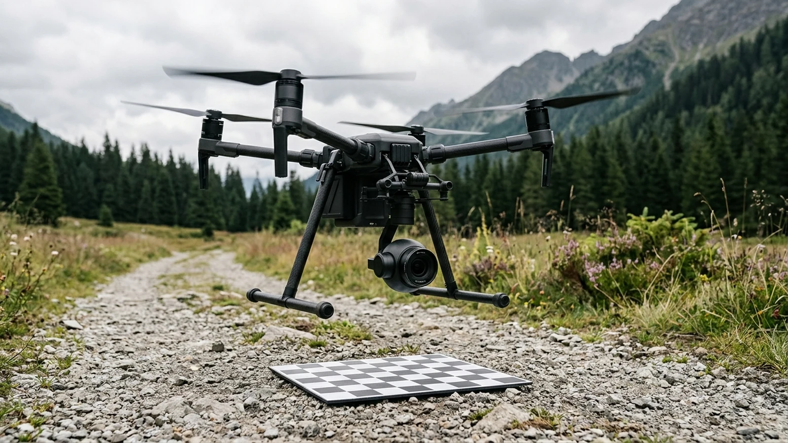
Ground sample distance is the ground spacing between adjacent pixel centers. Height and pixel pitch raise it. Focal length lowers it. Blur can hide a target.
All technical articles and explainers cataloged under #search-and-rescue.
Ground sample distance is the ground spacing between adjacent pixel centers. Height and pixel pitch raise it. Focal length lowers it. Blur can hide a target.
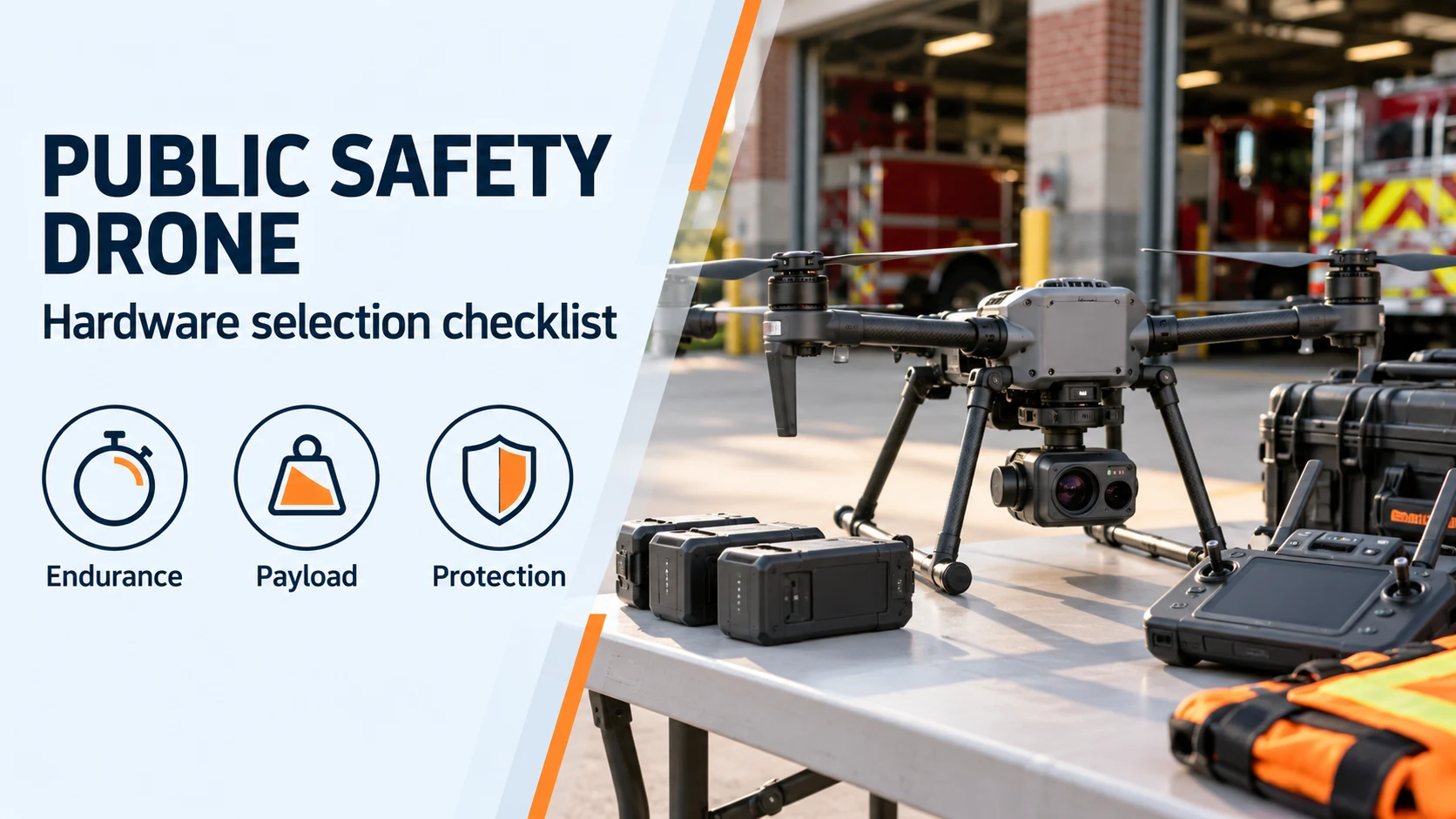
Compare public safety drone specifications and prepare a procurement checklist for loaded hover, camera payloads, weather protection, battery turnaround, and Remote ID.
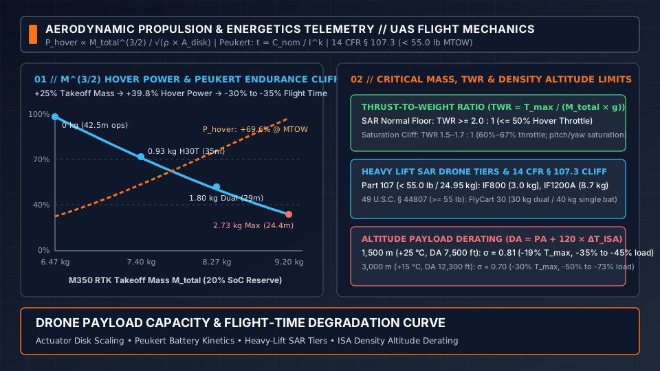
How drone payload capacity cuts flight time under the M^(3/2) hover power law, Peukert battery loss, heavy lift SAR drone curves, the 55 lb Part 107 cliff, and altitude payload derating.
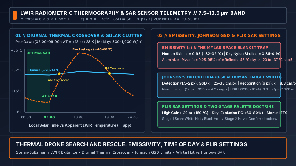
How thermal drone search and rescue works: LWIR emissivity, Mylar space blanket reflection, diurnal thermal crossover, Johnson GSD criteria, FLIR SAR settings, and White Hot vs Ironbow SAR palettes.
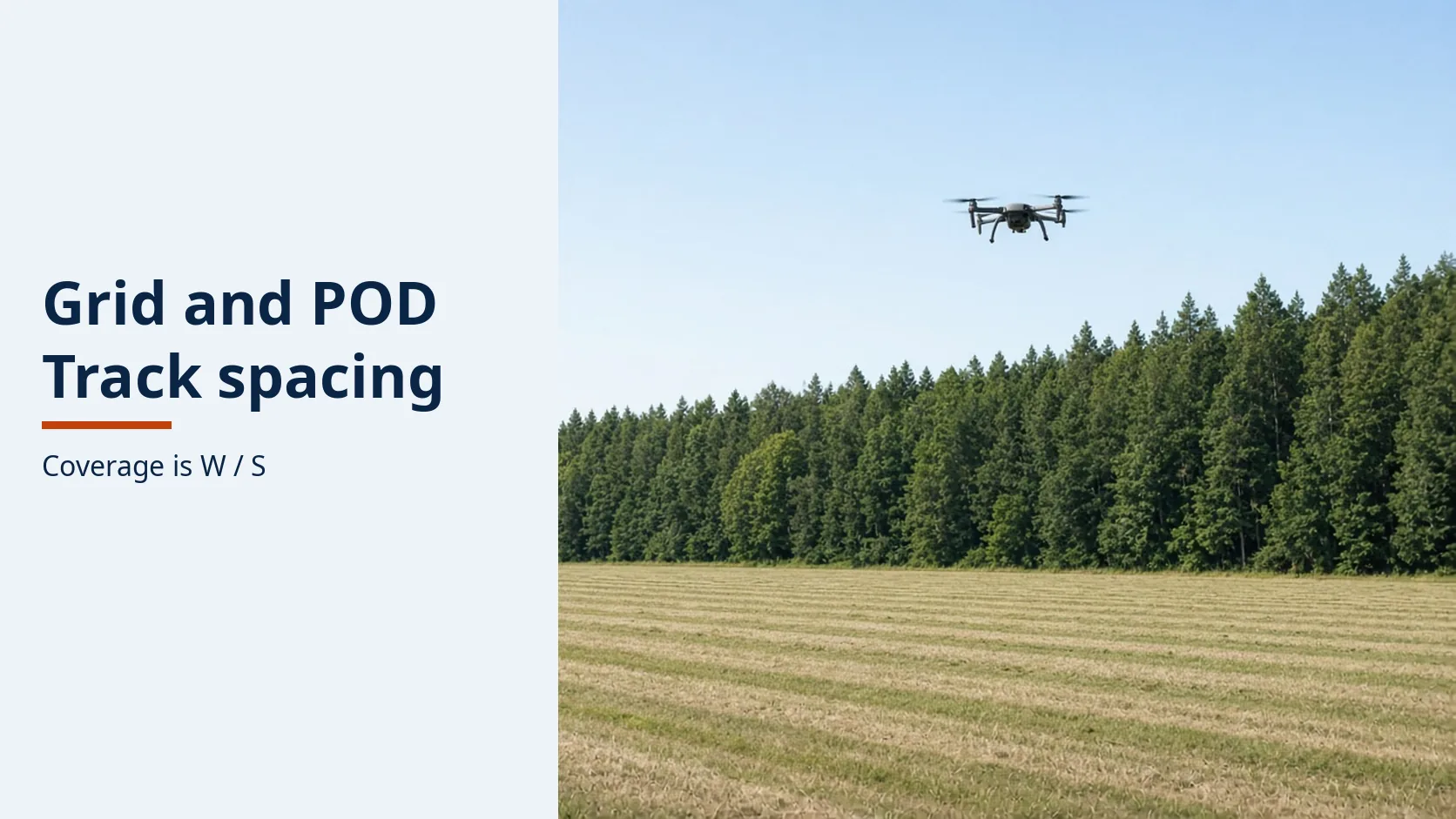
A grid the aircraft does not fly is a gap. IAMSAR sets coverage as sweep width over track spacing, and the pattern has to match how well the datum is known.
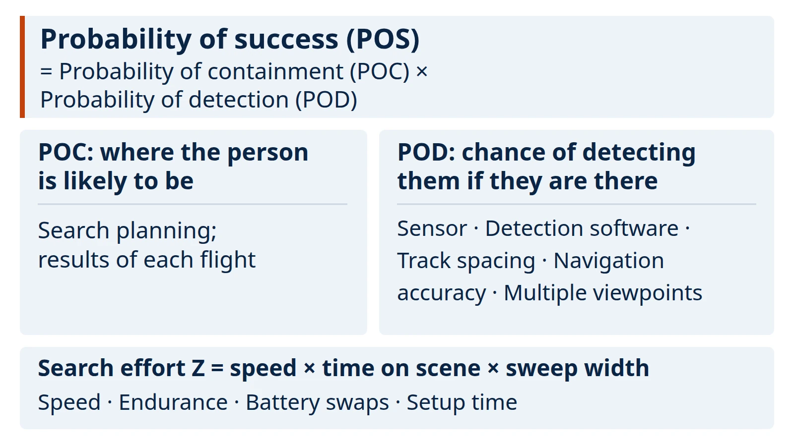
What optimizing a drone search and rescue flight actually changes, why forest canopy makes it hard, which levers help, and how to check a detection claim before relying on it.
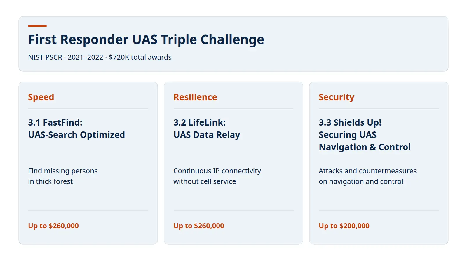
A sourced record of NIST PSCR's First Responder UAS Triple Challenge: who ran it, what the three challenges asked for, the $720K award pool, the FAQ rules and where results are.